Why Does It Rain So Much in the UK? An Explainer on Atlantic Weather Systems

Britain's reputation for rain is well earned, even if the details are often misunderstood. We rarely get the sort of deluge that floods a city in an afternoon. What we get instead is rain that arrives often, lingers longer than invited, and returns a few days later. The explanation sits several thousand miles to the west, over the Atlantic.
The wind almost always comes from the west
The UK sits in the belt of prevailing westerlies — a band of latitudes where the wind most often blows from between south-west and west. Prevailing does not mean permanent. Northerlies turn up in spring, easterlies in late winter, and a stubborn high-pressure block can park itself over the country for a fortnight. But averaged across a year, the Atlantic wins.
Every south-westerly has crossed thousands of miles of open ocean before it reaches Cornwall, Ireland or the Hebrides. Air travelling over a warm sea soaks up water vapour like a sponge, so by the time it makes landfall it is mild, humid and primed to rain. A wind from the east, by contrast, has crossed a large continent and arrives comparatively dry. Same island, very different sky.
British rain is rarely dramatic. It is simply frequent — and it is the frequency, not the volume, that people remember.
Depressions: the systems that queue up
Much of our rain arrives with depressions — low-pressure systems that form where cold polar air meets warm subtropical air, usually out over the Atlantic. The polar-front jet stream, a fast ribbon of wind high in the atmosphere, steers them towards us and decides whether they pass to the north, straight overhead, or to the south.
A classic depression brings a recognisable sequence. A warm front arrives first, with thickening cloud and steady rain that can last for hours. Behind it comes the warm sector: mild, grey and drizzly. Then the cold front sweeps through with a heavier, shorter burst and a sharp drop in temperature, followed by bright spells and scattered showers. When systems follow one another across the Atlantic every day or two, the result feels less like weather and more like a schedule.
The jet stream matters enormously. When it runs north of the UK, depressions tend to miss us and we get drier, calmer spells. When it dips south, the storm track shifts over the country and the rain settles in.
Worth keeping in perspective, though: the UK is not among the wettest places on Earth. Parts of the tropics, and plenty of mountain ranges elsewhere, receive far more. What sets our climate apart is how often rain falls and how evenly it is spread across the year, rather than how much lands in one go.
A warm ocean next door
The Gulf Stream and its extension, the North Atlantic Drift, carry warm water from the tropics towards north-west Europe. The seas around our coasts stay noticeably milder than the water off eastern Canada at comparable latitudes, which is one reason our winters are rarely severe and our summers rarely scorching.
Warm water matters for rainfall as much as for temperature. Evaporation from a mild sea puts water vapour into the air more or less continuously, so Atlantic air is almost never truly dry. Even a modest weather front crossing that air has something to work with.
When air is forced uphill: orographic rain
Air cools as it rises. Cooler air cannot hold as much water vapour, so the surplus condenses into cloud droplets, which grow until they are heavy enough to fall. Anything that lifts air can therefore make rain, and there are three main lifting mechanisms at work here:
- Frontal lift — warm air rides up over colder air along a front, producing the steady rain of a passing depression.
- Orographic lift — wind is forced up over hills and mountains, which is why the west of the country is so wet.
- Convective lift — the sun heats the ground, warm air bubbles upward, and showers or thunderstorms develop, often on a spring or summer afternoon.
Orography explains a great deal of the pattern. When a moist south-westerly meets the hills of Snowdonia, the Lake District or the Scottish Highlands, the air is shoved upwards, cools, and sheds its moisture on the windward slopes. Those uplands can be soaked while somewhere a short drive away stays dry all day.
Why the east stays drier
Once air has crossed a range of hills, it descends on the far side, warms and dries. This is the rain shadow, and it shapes the UK's rainfall map. The wettest areas cluster in the west and north-west; the driest corners tend to lie in the east, in places such as East Anglia, Lincolnshire and the sheltered lowlands around the Firth of Forth.
It also works on a smaller scale than most people realise. A town tucked behind a ridge can stay noticeably drier than the hilltop above it, and a single valley can have its own microclimate. If you are choosing a picnic spot on a showery day, the lee side of a hill is genuinely the better bet.
Reading the sky and planning around it
None of this means cancelling your plans. It means adjusting them. A few habits make a wet climate much easier to live with:
- Check the rainfall radar, not just the icon. An hourly forecast or radar map shows where rain is now and which way it is moving. Ten seconds of that beats a whole-day symbol.
- Learn two cloud types. Flat, featureless grey usually means steady frontal rain that will last. Puffy cumulus building through the morning means showers that pass in twenty minutes.
- Dress for wet rather than cold. A light waterproof shell over a warm mid-layer copes with most British days far better than one heavy coat.
- Time your walk. Showers often ease towards evening as the ground cools; frontal rain does the opposite and can settle in overnight.
- Keep a spare layer and dry socks in the car or bag. It sounds fussy until the day you need them.
Our rain is not a fault in the design. It is the product of a small island sitting under a busy jet stream, beside a warm ocean, with hills placed squarely in the path of the prevailing wind. Expect it, plan a little, and the British weather becomes far less of an obstacle — and rather more of what it actually is: the thing that keeps the hills green.
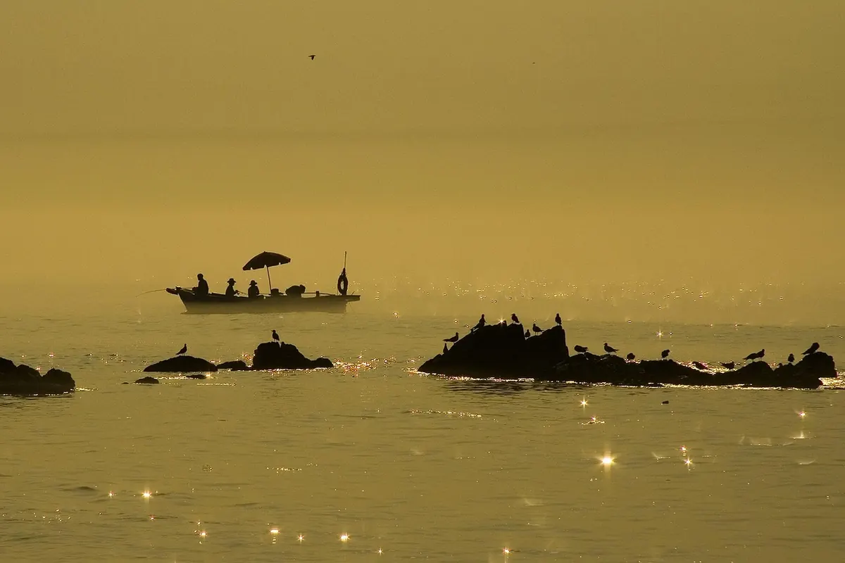
Photo: Yolanda_Jost / Pixabay