Coastal Fog and Sea Breezes: A Local Weather Guide for UK Seaside Towns
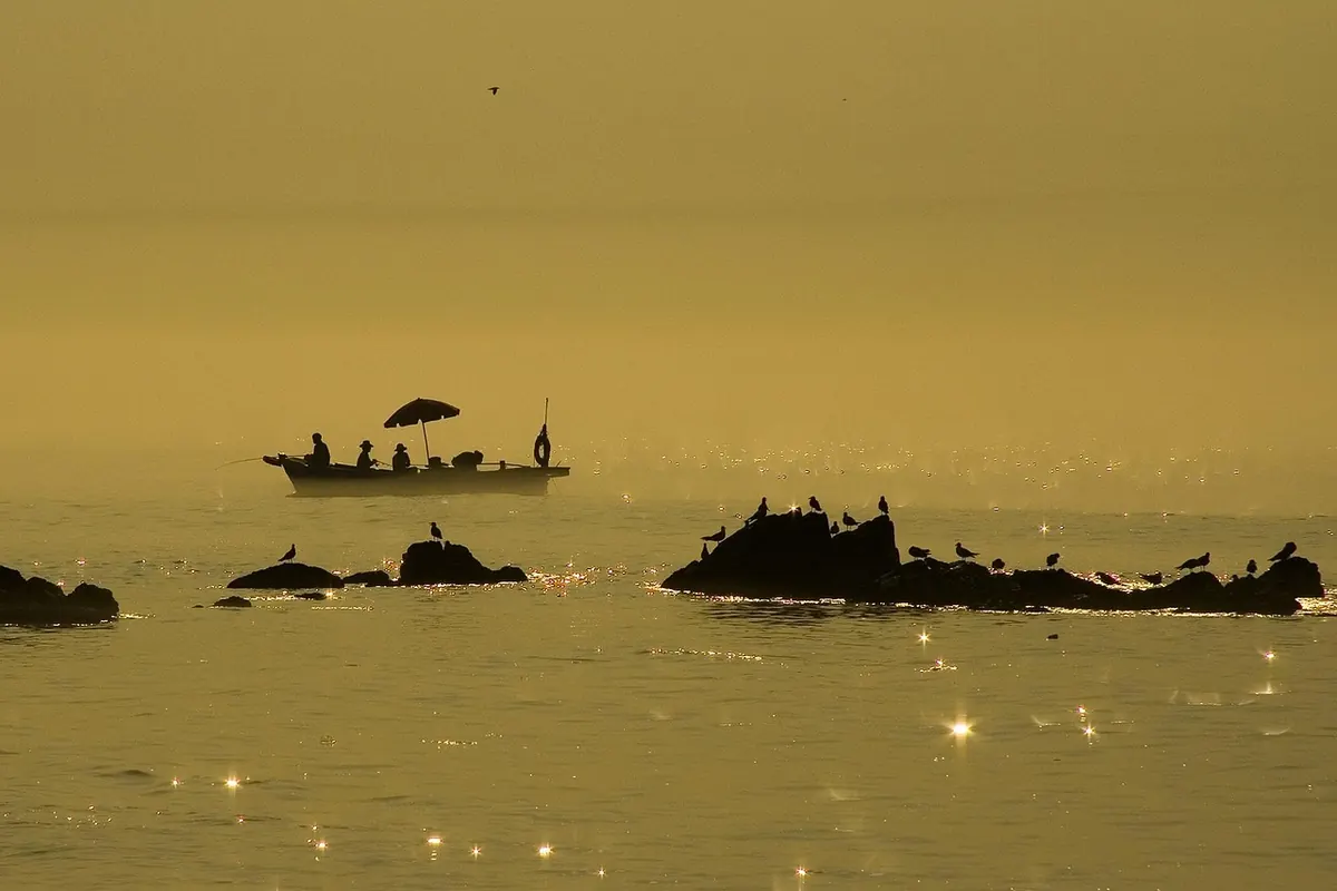
Stand on a clifftop on a bright July afternoon and you can sometimes watch two different days happening at once. Inland, the air shimmers over the fields and the car park smells of hot tarmac. Below, a band of pale grey has drifted in off the water, the beach has vanished, and somebody on the promenade is zipping up a fleece. Neither version is wrong. The coast runs its own weather system, and once you understand how that system works, a seaside forecast becomes far more useful than a single temperature figure.
The Sea Breeze: A Small Weather Machine
Land and sea respond to sunshine at very different speeds. Dry ground warms quickly, sometimes by several degrees an hour on a clear morning. Water barely shifts at all: the sun's heat is stirred through a deep, moving layer, so a full day of sunshine lifts the surface temperature by only a fraction. That difference starts the engine.
As the land warms, the air above it expands and rises. That leaves slightly lower pressure over the fields and hills, and cooler, denser air out at sea flows shorewards to fill the gap. The result is the sea breeze: a shallow onshore wind, often no more than a few hundred metres deep, arriving without any change in the wider weather map. No front has crossed the country. Your local beach has simply made its own wind.
The daily rhythm
- Early morning. Land and sea are close in temperature. The breeze is weak or absent, often just a light offshore drift.
- Late morning. The land pulls ahead. A faint onshore movement begins, usually first on open stretches of coast.
- Early to mid-afternoon. The breeze is at its strongest, commonly a brisk, steady push off the water. This is when the gap between promenade and town centre is widest.
- Evening. The land cools, the temperature difference closes and the breeze fades, sometimes leaving a very still, mild night.
A sea breeze often reaches ten or twenty miles inland before it dies out, which is why a town five miles from the coast can feel noticeably fresher than one thirty miles in.
The sea breeze front
Where the incoming sea air meets warm air over the land, it lifts it. That line of convergence can be surprisingly sharp: a band of cumulus bubbling up along it, a sudden shift in wind direction, and on some afternoons a shower that appears almost from nowhere and sits over the same few villages. If the sky to seaward is clear but cloud is building in a line inland, you are probably watching a sea breeze front.
Sea Fog, Haar and Sea Fret
Around Britain, the same phenomenon carries several names. On the east coast of Scotland and north-east England it is the haar; in Northumberland, Yorkshire and along parts of the Lincolnshire coast, people call it a sea fret. Meteorologically it is usually advection fog: warm, moist air drifting over a cold sea.
When that air is chilled from below to its dew point, the moisture condenses into countless tiny droplets and visibility collapses. It can arrive as a wall of grey, hide a pier within twenty minutes, and sit stubbornly for days if the wind keeps feeding it. North Sea ports learn to expect it in late spring and early summer, when the sea is still cold from winter but the air above the land has already turned warm.
This is not the same as the radiation fog that forms inland on calm, clear autumn nights, when the ground chills the air above it and the fog burns off after sunrise. Sea fog takes little notice of the sun. It clears when the wind shifts, when a different air mass arrives, or when a strong sea breeze stirs the surface enough to mix it away.
Why Coastal Temperatures Diverge So Sharply
The sea has a long memory. Around the UK, sea surface temperatures typically run from roughly 6°C or 7°C at the end of winter to somewhere near 16–17°C by late August or September, lagging a month or two behind the sun. Land has no such patience. A field can swing from frost to shirtsleeves within a week.
That mismatch explains a great deal of local variation:
- Spring. The sea is still cold. An onshore wind can hold a coastal town several degrees below the inland forecast, so a beach in May may feel like a different month from a garden ten miles inland.
- Summer. Inland heat builds and the sea breeze arrives as relief. The coast is often the most comfortable place to be, though sea fog can undo that within an hour.
- Autumn. The advantage flips. The sea is now at its warmest, so coastal gardens escape the first frosts while inland valleys turn white.
- Winter. Water warms the air passing over it. A shore exposed to a south-westerly can be noticeably milder than a sheltered inland spot.
Wind direction, then, matters more at the coast than the temperature figure alone. Onshore in spring and early summer means cool and possibly foggy. Offshore means the sea's influence is pushed away, and the coast can be the warmest place around.
Reading Your Own Stretch of Coast
Every bay has its own habits. Headlands shelter some beaches and funnel wind onto others; a harbour wall can make one stretch of sand comfortable while the next is being sandblasted. Spend a few weeks noting these things and your local forecast becomes much sharper:
- Check wind direction and speed first. Direction tells you whether the sea or the land is in charge; speed tells you how strongly.
- Note the month. May and June are fog months on the east coast. Late August and September bring the sea's warmest weeks.
- Watch to seaward. A low, flat band of grey on the horizon often means the fret is on its way in, not staying put.
- Compare two spots. A town centre reading and a promenade reading can differ by several degrees on a sea breeze afternoon.
- Look for shelter above the sea. A south-facing slope just inland often sits above the fog and out of the wind.
A Practical Plan for a Coastal Day Out
Before you leave, check wind direction and the sea temperature trend as well as the air temperature, then pack for two versions of the day: a light layer and a windproof one, whatever the month. Thin sea fog does not block much ultraviolet light, so sun cream still matters on a grey-looking beach. If the fret rolls in and you had plans for a warm afternoon, a short drive inland usually solves it — fog rarely follows you far.
And if the sea breeze dies away towards evening, which it usually does, stay for it. Some of the calmest, warmest hours on the British coast arrive just after the wind drops and the light goes soft on the water.
Photo: Lee_seonghak / Pixabay