Cumulus, Stratus, Cirrus: A Beginner's Guide to Cloud Spotting in the UK
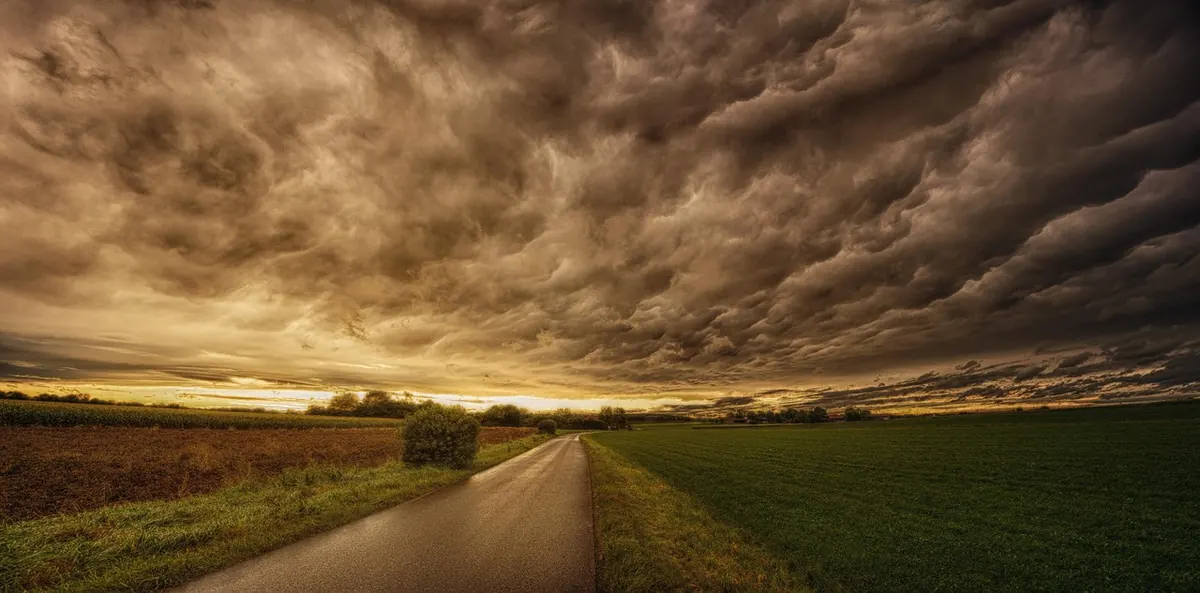
Cumulus, Stratus, Cirrus: A Beginner's Guide to Cloud Spotting in the UK
Clouds get blamed for a lot in Britain. A grey lid over the Pennines, a damp afternoon in Cardiff, drizzle arriving just as you carry the washing out: the cloud takes the blame and gets none of the credit for the fact that it is telling you, minute by minute, what the weather is about to do.
Learning to spot cloud types changes a walk. You start to notice that the sky over the western horizon matters more than the sky directly overhead, that a change in shape usually arrives before a change in the weather, and that the mackerel sky you have seen in paintings is something you can now identify from your own back garden. None of it needs equipment, an app or a qualification. It needs a bit of sky and five minutes.
The three basic shapes
Almost every cloud you will see is a variation on three shapes. Learn these and you can describe any sky.
Cumulus: the heaped ones
White, bright and piled up, with flat bases and cauliflower tops. Fair-weather cumulus are small, well spaced and drift slowly across blue sky; they are the friendly clouds of a summer afternoon. Watch for the moment they start growing upwards instead of outwards. Tall, bulging towers with darkening bases mean the air is rising hard, and showers are likely somewhere nearby before long.
In the UK, cumulus is the cloud of a bright April day when the morning starts clear and puffy heads appear by lunchtime. If they stay small and widely spaced, leave the umbrella at home. If they begin to crowd together, grow tall and flatten into dark bases, keep an eye on the western sky. The cloud itself is not a forecast, but its behaviour is.
Stratus: the flat grey blanket
A featureless grey sheet, low down, often hiding the tops of hills and blurring the horizon. It is fog that has lifted a little, or cloud that has come down to meet you. Stratus is the cloud that produces the classic British dreich day: no sharp edges, no drama, just a lid on the landscape. It can bring drizzle, mist and a flat, muffled light that makes even a familiar street look like a photograph left in the rain.
Stratus is not always a sign of heavy rain. Often it burns off by mid-morning, lifting into stratocumulus or breaking into small patches of blue. If it thickens, lowers and becomes darker, it may be turning into nimbostratus, the cloud of steady, soaking rain. On the coast, stratus can arrive as sea fret, rolling inland on a cool breeze while a few miles away the sun is still shining.
Cirrus: the high, wispy ones
Cirrus are the feathery, hair-like streaks high in the sky, often white and delicate, sometimes hooked or curled. They are made of ice crystals, not water droplets, because they form at altitudes where it is well below freezing. Cirrus often arrives ahead of a warm front. On its own it means fair weather; when it thickens into a milky veil called cirrostratus, it often warns of rain within a day or so. A halo round the sun or moon is a good clue that cirrostratus is overhead.
The sky has layers: low, middle and high
Meteorologists group clouds by height, and this helps in the UK because Atlantic weather systems often arrive in layers. Low cloud sits below about 2,000 metres: cumulus, stratus, stratocumulus, cumulonimbus and nimbostratus. Middle cloud forms between roughly 2,000 and 6,000 metres: altocumulus and altostratus. High cloud lives above about 6,000 metres: cirrus, cirrocumulus and cirrostratus. The names are not there to be memorised like irregular verbs. They are there to help you say what you are seeing and what it is doing.
If you look up and see three layers at once, that is often a sign that a front is approaching. High cirrus first, then a milky cirrostratus veil, then lower altostratus, then dark nimbostratus and steady rain. The whole sequence can take half a day or more. Learning the order is like learning the opening bars of a song: you can recognise what is coming before the chorus arrives.
Reading a changing sky
Cloud spotting is less about naming every shape and more about noticing change. The most useful question is not "What is that cloud called?" but "What is it doing?" A sky that is thickening, lowering and darkening is telling you something different from a sky that is breaking up and lifting.
- Watch the western horizon. In the UK, most of our weather arrives from the west or south-west. A bank of cloud there is your early warning system.
- Notice the speed of change. Fast-growing cumulus in the morning often means showers by afternoon. Slowly thickening cirrus may mean rain tomorrow.
- Look for haloes and coronas. A ring round the sun or moon usually means high ice cloud and moisture on the way.
- Check the bases. A flat, sharp base on cumulus suggests a stable layer; a ragged, lowering base suggests something more active.
- Use colour carefully. Grey cloud low down may simply be thick; a greenish or bruised sky near a thunderstorm is a stronger warning sign.
Clouds that mean business
Some clouds are worth knowing because they carry useful messages. Cumulonimbus is the giant: a towering cloud with a dark base, often an anvil-shaped top and sudden heavy showers, hail, thunder and gusty winds. If you see one approaching, do not wait for the first spot of rain to find shelter. Nimbostratus is a thick, dark, featureless layer that gives prolonged rain or snow; it is the classic wet Sunday cloud. Altostratus is a grey or bluish veil, often with the sun showing through weakly like a lamp behind a blind; it often precedes rain. Stratocumulus is the broken grey-and-white sheet that covers much of the UK for much of the winter; it can look gloomy but often produces only a few spots of drizzle.
Mackerel sky, mackerel sky, never long wet, never long dry.
That old saying is about altocumulus, the rippled cloud that looks like fish scales or the pattern on a mackerel's back. It does not guarantee rain, but it does suggest that the air is unsettled and that the weather may change within a day. It is a good example of how cloud spotting blends folklore with observation: the saying is not a forecast, but it is a prompt to look again.
A ten-minute routine from your garden
You do not need a weather station to start. Try this once a day, ideally at the same time, and you will soon build a personal picture of how your local sky behaves.
- Stand somewhere with a wide view and face west or south-west.
- Note the highest cloud you can see. Is it thin cirrus, rippled altocumulus or a milky cirrostratus veil?
- Work downwards. What is in the middle layer? What is low down?
- Estimate the amount of sky covered: less than half, about half, or mostly covered.
- Look for movement. Are clouds drifting towards you, away from you or across the sky?
- Check for change over five minutes. Are bases lowering? Is the cloud thickening? Is blue sky appearing?
- Write one line in a notebook or phone: date, time, wind direction if you know it, cloud types, and what the weather does next.
After a few weeks, you will start to recognise your own local patterns. A certain look to the sky over the hills may mean rain in an hour; a particular break in the cloud may mean a bright evening. That is the real reward of cloud spotting. It turns the sky from a backdrop into a live forecast you can read yourself.
Why clouds matter in a British context
The UK sits under a fast-moving, changeable atmosphere, with mild, moist air from the Atlantic meeting colder air from the north and warmer air from the south. That is why our weather can change so quickly, and why clouds are such a useful guide. The Pennines, Snowdonia, the Lake District and the Scottish Highlands force air upwards, creating extra cloud and rain on western slopes. Eastern coasts can be grey with sea fret while inland is sunny. In winter, clear nights can bring fog and then low stratus that lingers in valleys.
Clouds also shape how a day feels. A sheet of stratus flattens the light and makes colours dull. Broken cumulus lets sunlight race across fields. Cirrus can create haloes and pale, rippled skies that photographers love. Once you know the names, you begin to notice the weather not just as something happening to you but as something you can watch, understand and even predict.
So next time the sky turns grey, do not simply mutter about the rain. Look up. Is it a flat stratus lid, a thickening altostratus veil or a towering cumulus heap? The answer may tell you whether to take a coat, wait ten minutes, or simply enjoy the fact that the British sky is, as ever, putting on a show.
Photo: jplenio / Pixabay